Categories
Governmental ServicesRecreationTourist Attractions
Hours:
Office hours: Monday-Friday 8am - 4:30pm
Partner site hours vary
River always open
Driving Directions:
From the east: SD 50 into Yankton, left at 1st light (Burleigh/4th St) office 1 1/2 blocks on right, river next left. From north or south: East on 2nd St, any right to river, office 6 blocks on left.
About Us
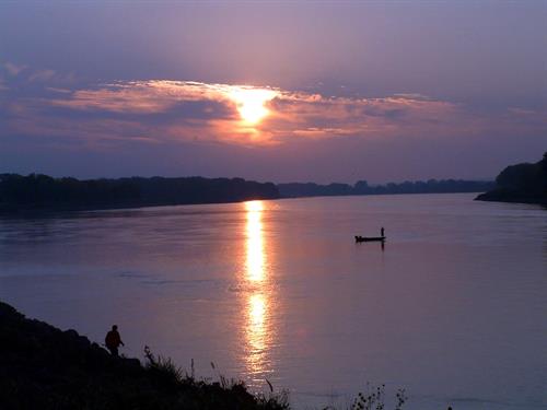
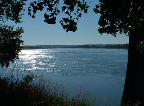
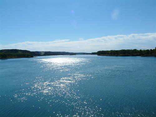
Settled along the South Dakota-Nebraska border, a 98-mile section of the Missouri River, is the Missouri National Recreational River - a unit of the National Park Service.
Video Media
Images


.jpg)
Jobs
Laborer – Motor Vehicle Operator, WG-05
Category: Facilities, Maintenance, and Repair
Missouri National Recreational River
This is a 4.5-month Seasonal National Park Service Position based in Yankton, SD. The position will be field-based and be expected to operate heavy power equipment such as lawn mowers, brush cutters, weed whackers, and all types of hand and light power tools. Tasks include mowing trails, maintaining grounds, roads, trails, and tools. Loads and unloads supplies
...read more
Park Ranger (Interpretation) (Seasonal)
Category: *
Interpretive Rangers develop and present educational programs including guided walks and presentations, and working with audiences in a variety of park settings.
Park Ranger (Interpretation) Standard Duties:Develop and present a variety of programs including guided walks, illustrated talks (PowerPoint amphitheater and campfire programs) and demonstrations.Develop programs using principles of the
...read more
